Guide
01/03/2026
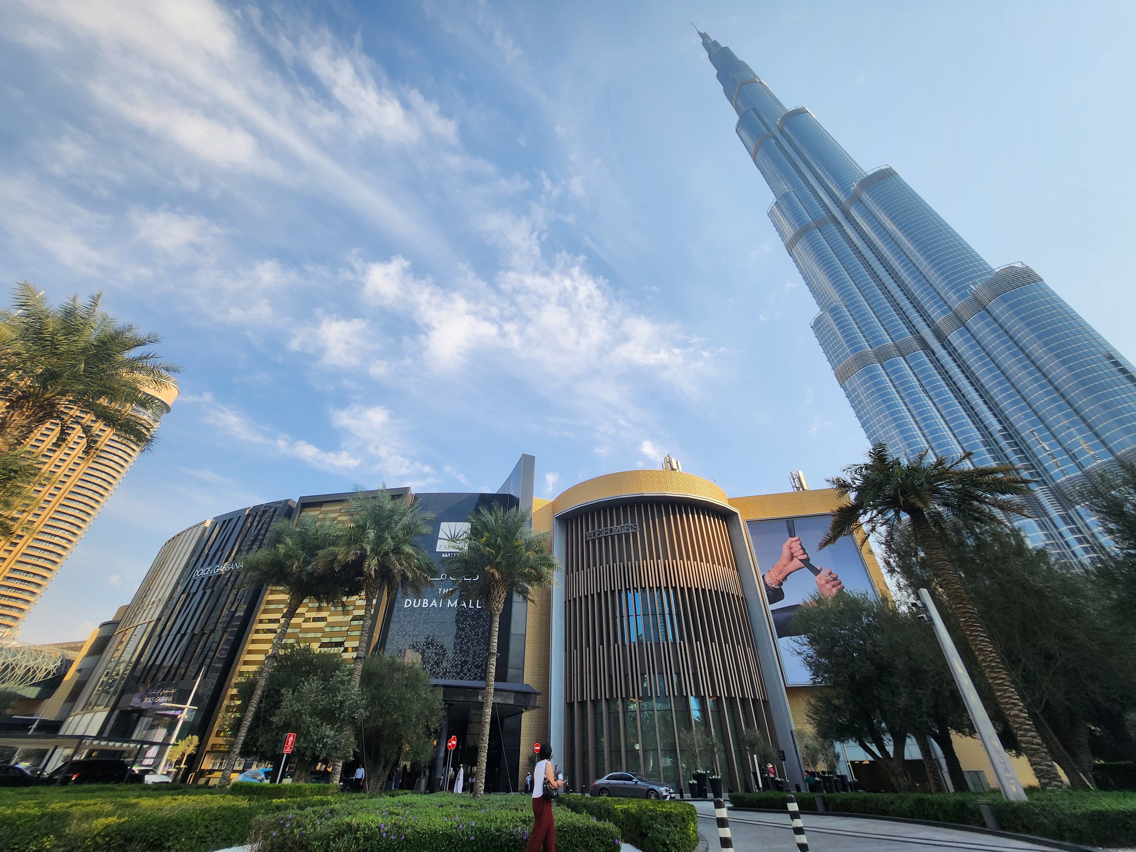
Dubai Mall – area
Copy link
TwoContinents
12 December 2025
Abu Dhabi, the capital of the United Arab Emirates, is a developing city whose strategic location on the coast of the Persian Gulf plays a key role in the development of the region. Thanks to its proximity to the desert, the coast, and major trade routes, Abu Dhabi has become a modern center of culture, business, and leisure. How does Abu Dhabi's location affect tourism and the economy? What does the map of Abu Dhabi look like?
Abu Dhabi, also known as Abu Dhabi, is located in the United Arab Emirates, in the western part of the country. What is the geographical location of the UAE and Abu Dhabi? The country and the emirate itself are located in the northern hemisphere, in the central part of the Arabian Peninsula, which gives it a warm climate.
Abu Dhabi stands out on the world map as the largest emirate in the UAE, covering both coastal urban areas and vast desert areas that attract tourists with their natural diversity.
The location of Abu Dhabi means that this emirate plays a key role both in the UAE and in the entire Persian Gulf region. The emirate occupies the southern part of the country, covering the largest area of all the emirates. This vast territory combines the modern city of Abu Dhabi, green oases, desert spaces, and coastal shores. Abu Dhabi's proximity to other countries and emirates contributes to its economic, cultural, and logistical importance. Which countries and emirates border Abu Dhabi? The emirate borders directly with Oman and Saudi Arabia, as well as with the emirates of Dubai and Sharjah.
The regions of the Emirate of Abu Dhabi include not only the capital, but also the culturally rich city of Al Ain, known as the “city of gardens,” and many protected areas where nature reserves are located.
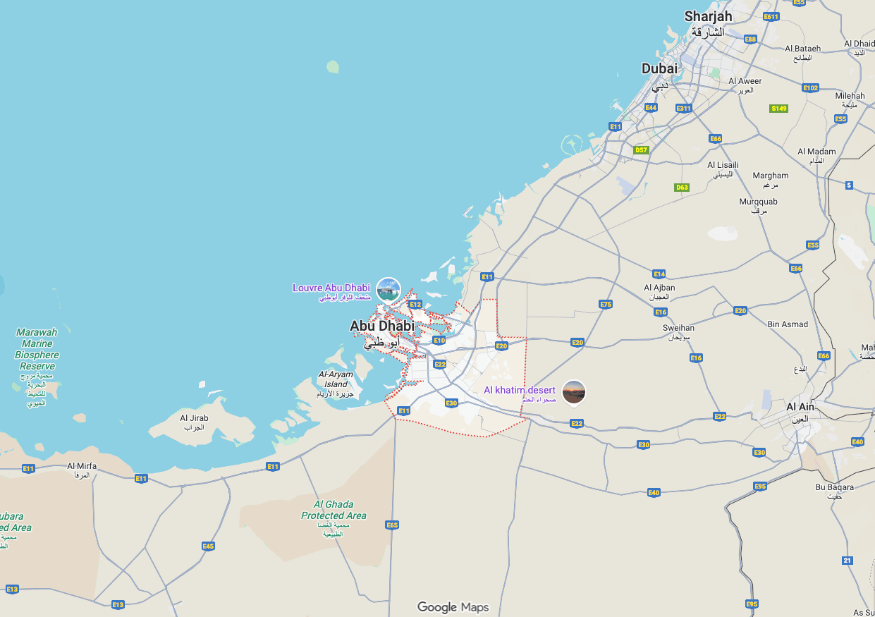
Where is Abu Dhabi located? The capital of the United Arab Emirates is located in the northern part of the Emirate of Abu Dhabi, on the coast of the Persian Gulf. It officially became the capital of the United Arab Emirates in 1971, and its development is linked to the growing importance of the entire UAE on the international stage. Thanks to its strategic location, Abu Dhabi is a key point on the map of the Middle East.
Climate and location Abu Dhabi's location on the edge of the desert and on the warm waters of the bay gives it a dry, subtropical climate with very hot summers and mild winters. What is the climate like in Abu Dhabi due to its location? For most of the year, temperatures are high, rainfall is negligible, and the sun shines almost every day, which is conducive to tourism.
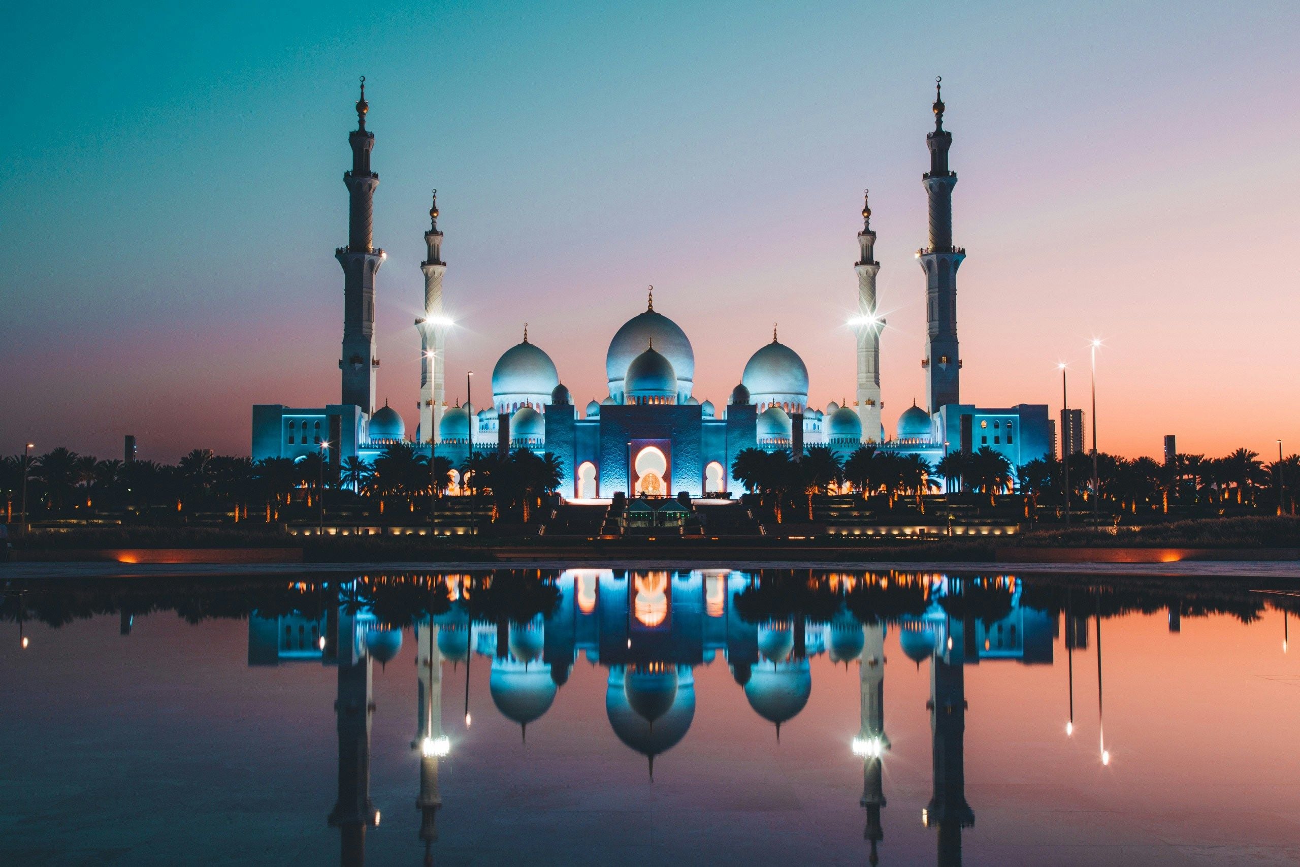
On the map of Abu Dhabi, you will also find free attractions and the best attractions that have become symbols of the city and the entire country. These include the most luxurious hotel, Emirates Palace, Sheikh Zayed Grand Mosque, and Qasr Al Watan palace.
Many travelers wonder how far Abu Dhabi is from Dubai. Thanks to the excellent infrastructure, the two cities are about 100 km apart, which is roughly an hour's drive. If you are also visiting the largest city in the Emirates, Dubai, we recommend our Dubai Guide, as well as trips to Dubai and accommodation in Dubai.
1. What is the geographical location of Abu Dhabi?
The country and the emirate itself are located in the northern hemisphere, in the central part of the Arabian Peninsula.
2. Which countries and emirates border Abu Dhabi?
The emirate borders directly with Oman and Saudi Arabia, as well as with the emirates of Dubai and Sharjah.
3. How far is Abu Dhabi from Dubai?
Thanks to excellent infrastructure, the two cities are about 100 km apart, which is roughly an hour's drive.
See other news
01/03/2026
Dubai Mall – area

01/03/2026
Burj Khalifa – which floor to go to?
01/03/2026
United Arab Emirates - a guide for tourists
28/02/2026
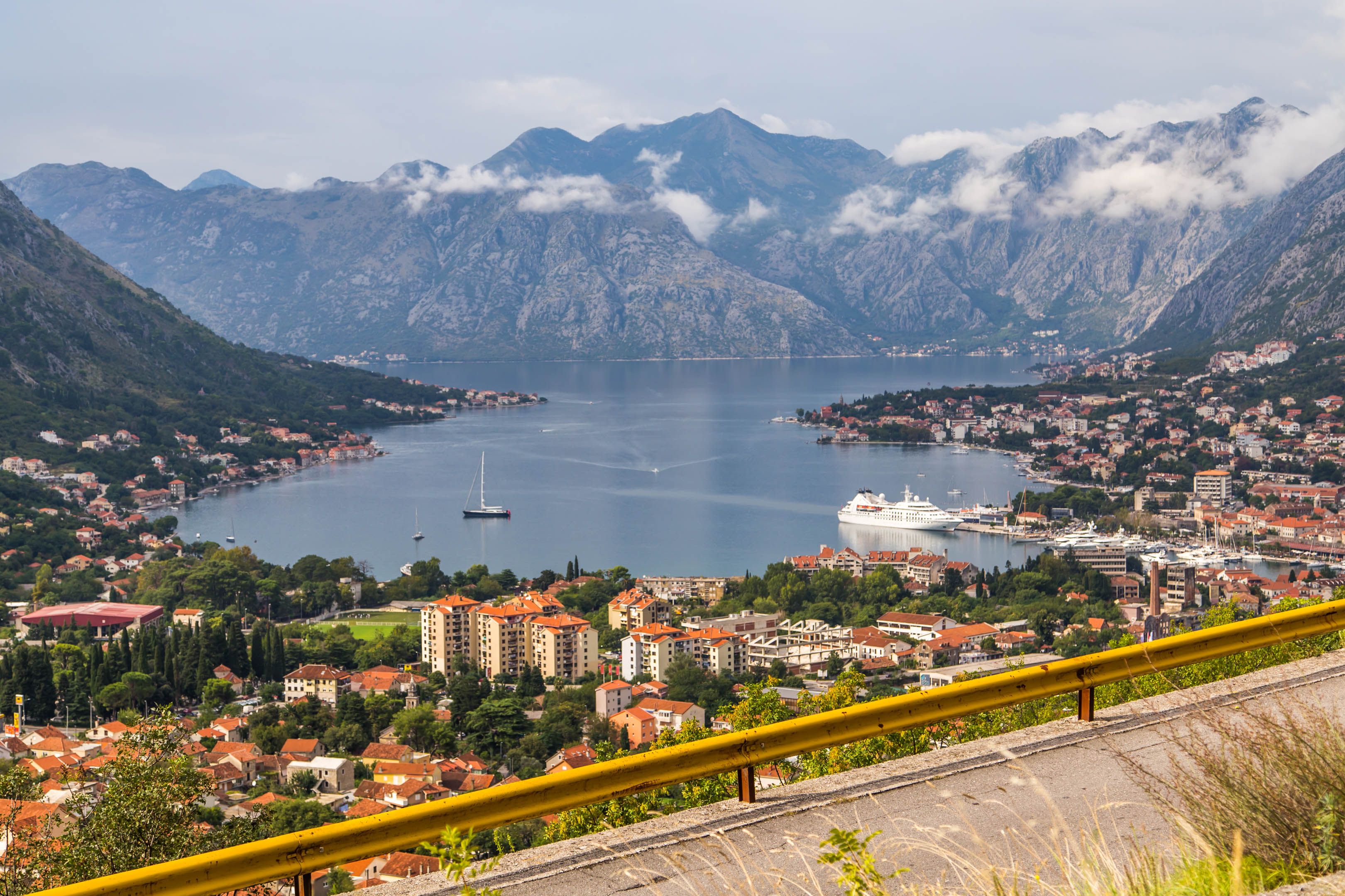
No more expensive internet in the Balkans? EU roaming on the way!
28/02/2026
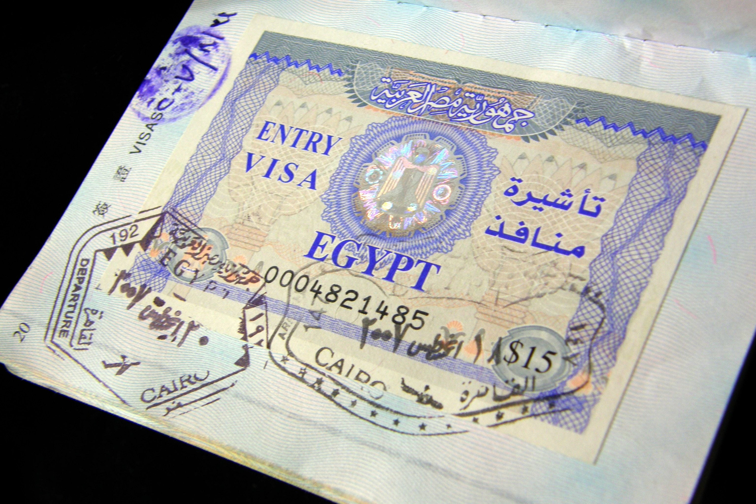
From March visas to Egypt will be $5 more expensive

28/02/2026
Krakow finally obtains environmental approval for the construction of a new runway
28/02/2026
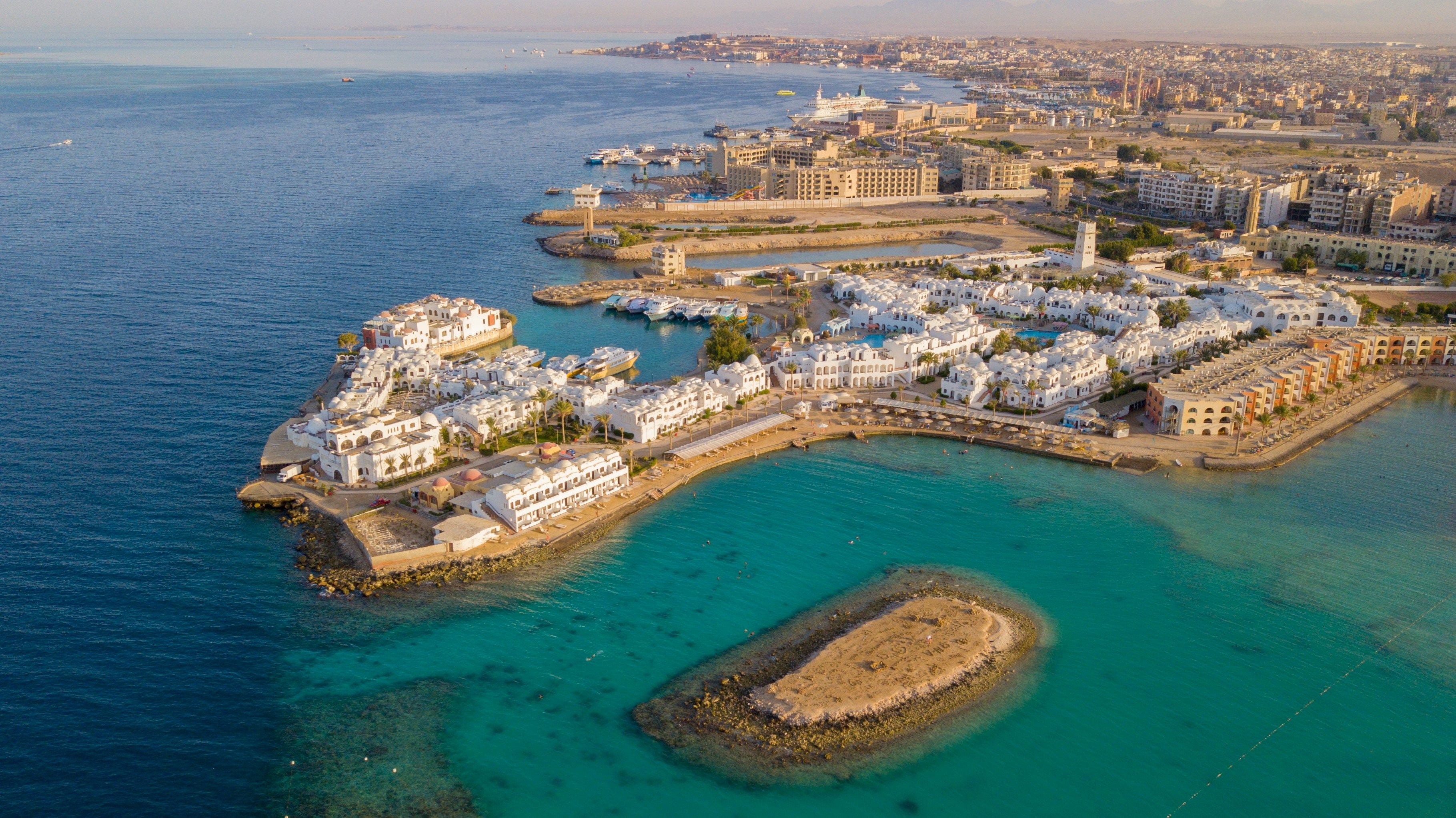
Corendon Airlines will fly from Warsaw and Katowice to Hurghada
28/02/2026
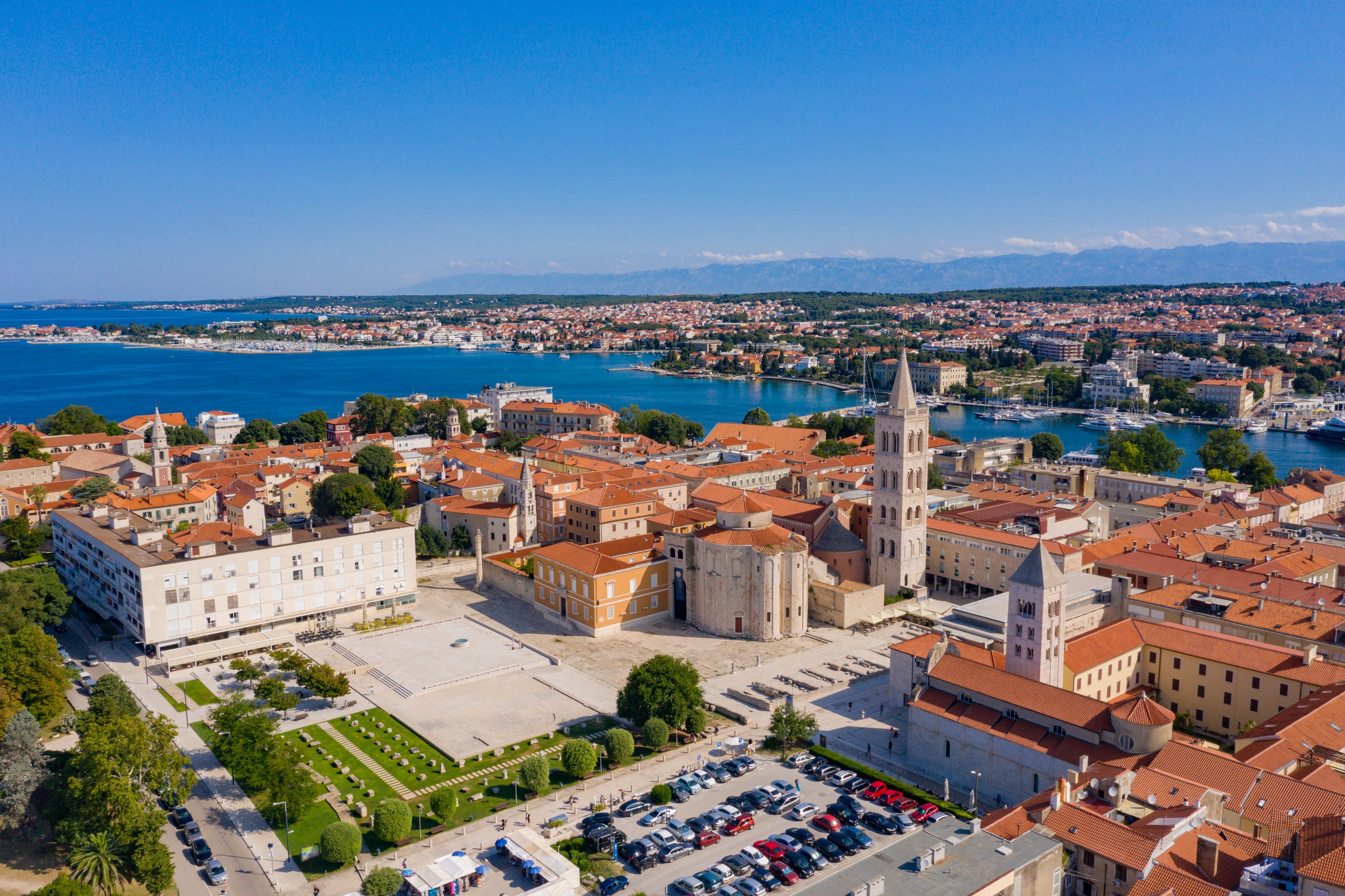
Wizz Air has announced the launch of a new route from Warsaw to Zadar

26/02/2026
Making money from short-term rentals in Dubai
26/02/2026
No more travelling around Iran on your own